Early in the morning of May 15 I had a frugal breakfast consisting of café con leche (coffee and hot milk) with a tostado (half a mini-baguette, toasted) drenched in olive oil. It is actually quite a substantial meal with all that olive oil. Normally I don’t eat that much during a day walking but I always try to have some bread with oil and a coffee before I start as I know that this will keep me going for several hours.
Then I set off going east and soon went into a hilly area with steep slopes going up and down. The last slope heading down into the El Chorro gorge was actually very steep with loose rocks all over the path and even if I had a busy time going down I thought I was lucky not having to walk upwards instead. I had some rest and a spot of lunch in El Chorro by the railway station.
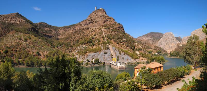
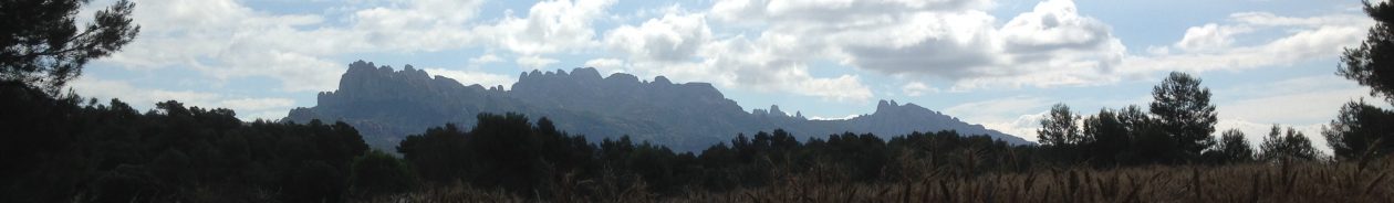
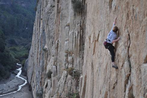
The landscape there is dominated by sharp limestone cliffs and there are an abundance of caves. It is a splendid place for climbing, horse riding, mountain biking, canoeing, windsurfing, and more.
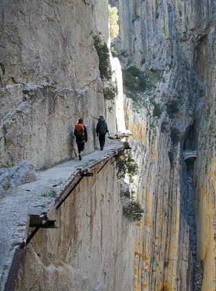
El Chorro also is world famous for an old workers pathway hanging from the sheer cliffs high up over the Guadalhorce river. It has recently been reopened (Easter 2015) after being restored and now it is safe to walk after having been a death trap for many years with several deadly falls. The path is named the kings little pathway, El caminito del Rey. At the time I was there in May 2014 it was still under repair and I didn’t bother going there just to have a look as I knew that it was closed off.
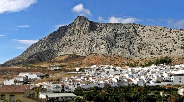
Instead I continued my walk that had more steep climbs up and around Sierra del Huma with magnificent views over distant farmland. Then began a gentle decent into the Abdalajís valley. The signposting for the GR-7 was not very good but better for the GR-249 that followed the same stretch for a while. But I got a bit lost at the end and had to rely 100% on my GPS in order to get down to Abdajalís through the rugged landscape. I hardly could notice a path at all cruising, zigzagging my way down a slope full of boulders, bushes, and knotty trees but there was an occasional cairn that confirmed that I was on the right track.
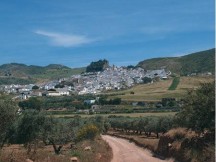
A little later my feet was hitting tarmac and I soon went into the village of Valle de Abdalajís. I put down my backpack at Hostal Vista de la Sierra that also had a bar and a restaurant, went shopping at the local Repsol petrol station and then had time off until the next morning.